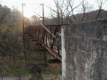
PB140400.jpg
Climbing up the grade from the road and looking back toward the west
at the east end of the east bridge...whew! It's November, so the leaves
are not in the way. The railroad track is behind the camera, and the bridges'
intersection is ahead.
|
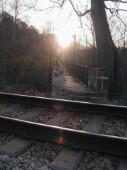
PB140397.jpg
The railroad track and the east end of the east bridge.
|
PB140401.jpg
A little detail of the east bridge looking west.
|
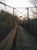
PB140399.jpg
Another east-to-west view of the east bridge at sunset
|
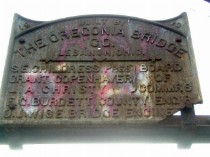
PB140402.jpg
East bridge sign.
|
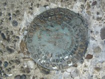
PB140403.jpg
The geodetic survey marker, east end, east bridge.
|
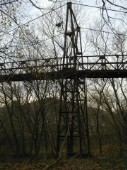
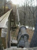
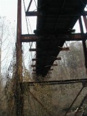
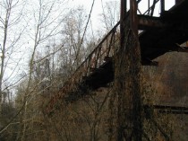
PB140406.jpg
East bridge framework. Coal River is in the background
|
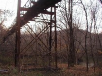
PB140407.jpg
More east bridge, from the east bank of coal river, downhill from the
railroad.
|
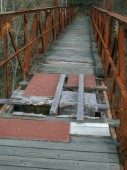
PB210454.jpg
West bridge "repair".
|
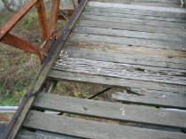
PB210455.jpg
More west bridge deterioration.
|
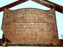
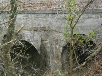
PB210457.jpg
West bridge sign.
|
PB140388.jpg
Below the west bridge, the vines are taking over
|
PB140389.jpg
|
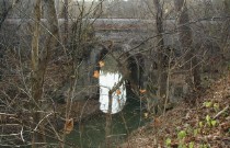
PB140391.jpg
Railroad viaduct carries the tracks over Alum Creek, flowing to the
Coal River in the background.
|
PB140396.jpg
I don't remember it, but I'll bet the camp counselors told ghost stories
about this place! As dusk fell, it got creepy.
|
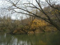
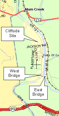
PB140390.jpg
The Coal River to the lolwer left is formed by the Little Coal, coming
from the right, and the Big Coal flowing from left fork, under the east
bridge.
|
 >US Route 119To Charleston, WV